| The World Settlement Footprint WSF 2015 version 2 (WSF2015 v2) is a 10m resolution binary mask outlining the extent of human settlements globally for the year 2015. Specifically, the WSF2015 v2 is a pilot product generated by combining multiple datasets, namely: 1) The WSF2015 v1 derived at 10m spatial resolution by means of 2014-2015 multitemporal Landsat-8 and Sentinel-1 imagery (of which ~217K and ~107K scenes have been processed, respectively); https://doi.org/10.1038/s41597-020-00580-5 2) The High Resolution Settlement Layer (HRSL) generated by the Connectivity Lab team at Facebook through the employment of 2016 DigitalGlobe VHR satellite imagery and publicly released at 30m spatial resolution for 214 countries; https://arxiv.org/pdf/1712.05839.pdf 3) The novel WSF2019 v1 derived at 10m spatial resolution by means of 2019 multitemporal Sentinel-1 and Sentinel-2 imagery (of which ~ 1.2M and ~1.8M scenes have been processed, respectively); https://doi.org/10.1553/giscience2021_01_s33 The WSF2015 v1 demonstrated to be highly accurate, outperforming all similar existing global layers; however, the use of Landsat imagery prevented a proper detection of very small structures, mostly due to their reduced scale. Based on an extensive qualitative assessment, wherever available the HRSL layer shows instead a systematic underestimation of larger settlements, whereas it proves particularly effective in identifying smaller clusters of buildings down to single houses, thanks to the employment of 2016 VHR imagery. The WSF2015v v2 has been then generated by: i) merging the WSF2015 v1 and HRSL (after resampling to 10m resolution and disregarding the population density information attached); and ii) masking the outcome by means of the WSF2019 product, which exhibits even higher detail and accuracy, also thanks to the use of Sentinel-2 data and the proper employment of state-of-the-art ancillary datasets (which allowed, for instance, to effectively mask out all roads globally from motorways to residential). | ||
 |
||
| Suggested Data Citation | ||
| Data: WSF data ©DLR [year of acquisition] All rights reserved. https://doi.org/10.15489/6n5h1ezef920 | ||
| Coverage | ||
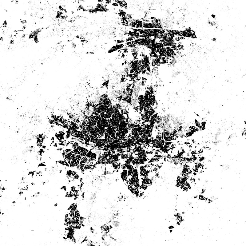
| Yellow dots or areas indicate coverage range. | ||
| Geographic Boundaries | ||
| North: | 75.00° | |
| West: | 180.00° | |
| East: | 180.00° | |
| South: | -56.00° | |
| Time Period | ||
| Start date: | 2012-01-01 | |
| End date: | 2019-12-31 | |
| More Information | ||
| Keywords: | DLR, EOC, global, urbanization, land, settlement extent, Landsat-8, Sentinel-1, opendata | |
| Contact: | geoservice@dlr.de | |
| Access / Use Restriction: | License | |
| Data Use Guidelines | Creative Commons BY 4.0 | |
| Links | ||
| Mission / Project Information | ||
| World Settlement Footprint - DLR Blog | https://www.dlr.de/blogs/en/all-blog-posts/world-settlement-footprint-where-do-humans-live.aspx World Settlement Footprint - DLR Blog |
|
| DOI: | https://doi.org/10.15489/rlyibn8gjc58 Digital Object Identifier |
|
| Product Search / Ordering | ||
| Product Catalogue (STAC): World Settlement Footprint (WSF) 2015 v2 | https://geoservice.dlr.de/eoc/ogc/stac/v1/collections/WSF_2015 World Settlement Footprint (WSF) 2015 v2 |
|
| Downloading Data | ||
| GUI-based download (World Settlement Footprint (WSF) 2015 v2) | https://download.geoservice.dlr.de/WSF2015/ GUI-based download |
|
| Data Visualization Service | ||
| EOC Geoservice Map Context (eoc:wsf) | https://geoservice.dlr.de/web/maps/eoc:wsf EOC Geoservice Map Context |
|
| WMS access: World Settlement Footprint (WSF) 2015 v2 | https://geoservice.dlr.de/eoc/imagery/wms? WSF_2015 |
|