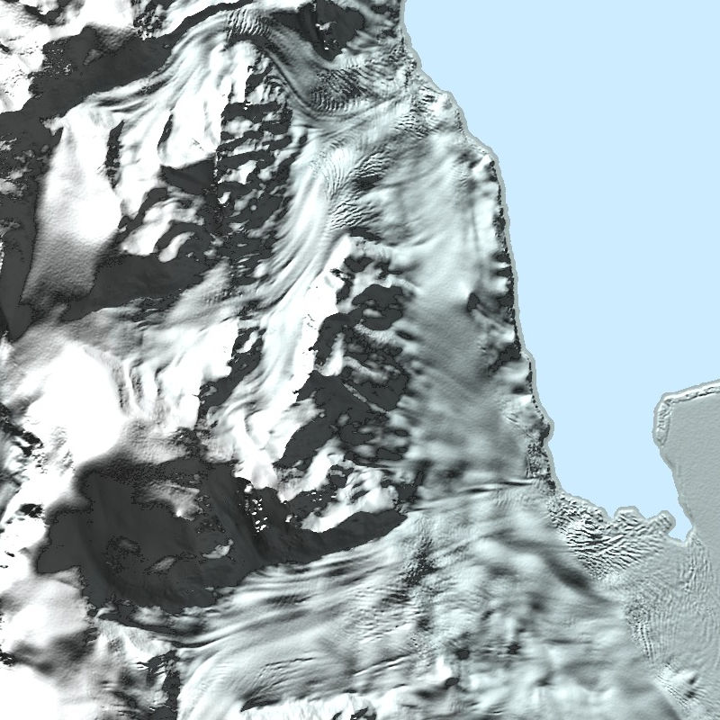
| The TanDEM-X PolarDEM is a project developed by the German Remote Sensing Data Center (DFD) at the German Aerospace Center (DLR) within the activities of the TanDEM-X mission. It is a framework for the provision of derivatives of the global Digital Elevation Model (DEM) of the TanDEM-X mission for Polar Regions. The TanDEM-X PolarDEM 90m of Antarctica is a gap-free and edited version of the TanDEM-X 90m digital elevation model (DEM). The TanDEM-X PolarDEM 90m of Antarctica is provided in Antarctic Polar Stereographic projection (EPSG:3031) with a pixel spacing of 90 meters. The DEM elevation values represent ellipsoidal heights relative to the WGS84 ellipsoid. The majority of the data were acquired between April 2013 and October 2014. The TanDEM-X PolarDEM 90m of Antarctica is split into four tiles. For more information concerning the TanDEM-X PolarDEM, the reader is referred to: https://www.dlr.de/eoc/en/desktopdefault.aspx/tabid-11882/20871_read-66374/ | ||
 |
||
| Suggested Data Citation | ||
| German Aerospace Center (DLR) (2020): TanDEM-X - PolarDEM - Antarctica, 90m. https://doi.org/10.15489/9jhr18jepi65 | ||
| Coverage | ||
| Yellow dots or areas indicate coverage range. | ||
| Geographic Boundaries | ||
| North: | -60° | |
| West: | -180° | |
| East: | 180° | |
| South: | -90° | |
| Time Period | ||
| Start date: | 2013-04-29 | |
| End date: | 2017-09-07 | |
| More Information | ||
| Keywords: | TanDEM-X, Digital Elevation Model, TDX-1, TSX-1, SAR, X-Band, PolarDEM, Antarctica, inspireidentifiziert, Elevation | |
| Contact: | td-polardem@dlr.de | |
| Access / Use Restriction: | restricted | |
| Data Use Guidelines | https://geoservice.dlr.de/resources/licenses/polardem90/TanDEM-X-PolarDEM_User_Licence.pdf | |
| Links | ||
| Mission / Project Information | ||
| Webpage with links and description for accessing TanDEM-X elevation models for scientific users. | https://tandemx-science.dlr.de/ TanDEM-X DEM access - scientific users |
|
| Webpage for accessing/ordering TanDEM-X elevation models for non-scientific users. | https://www.intelligence-airbusds.com/ TanDEM-X DEM access - non-scientific users |
|
| EOC Geoservice Map Context (tdm:polardem90:antarcica) | https://geoservice.dlr.de/web/maps/tdm:polardem90:antarctica EOC Geoservice Map Context |
|
| EOC Geoservice Data Guide | https://geoservice.dlr.de/web/dataguide/tdm90/ TDM90 - EOC Geoservice Data Guide |
|
| DOI: | https://doi.org/10.15489/9jhr18jepi65 Digital Object Identifier |
|
| Downloading Data | ||
| HTTP download (TanDEM-X PolarDEM 90m of Antarctica) | https://download.geoservice.dlr.de/TDM_POLARDEM90/files/ANTARCTICA/ HTTP download |
|
| EOC Download Service (TanDEM-X PolarDEM 90m of Antarctica) | https://download.geoservice.dlr.de/TDM_POLARDEM90/ANTARCTICA/ EOC Download Service |
|
| Data Visualization Service | ||
| WMS Access: TanDEM-X PolarDEM 90m of Antarctica (DEM) | https://geoservice.dlr.de/eoc/elevation/wms? TDM_POLARDEM90_ANT_DEM |
|
| WMS Access: TanDEM-X PolarDEM 90m Hillshade Combined of Antarctica (HSC) | https://geoservice.dlr.de/eoc/elevation/wms? TDM_POLARDEM90_ANT_HSC |
|
| WMS Access: TanDEM-X 90m PolarDEM Hillshade Multidirectional of Antarctica (HSM) | https://geoservice.dlr.de/eoc/elevation/wms? TDM_POLARDEM90_ANT_HSM |
|