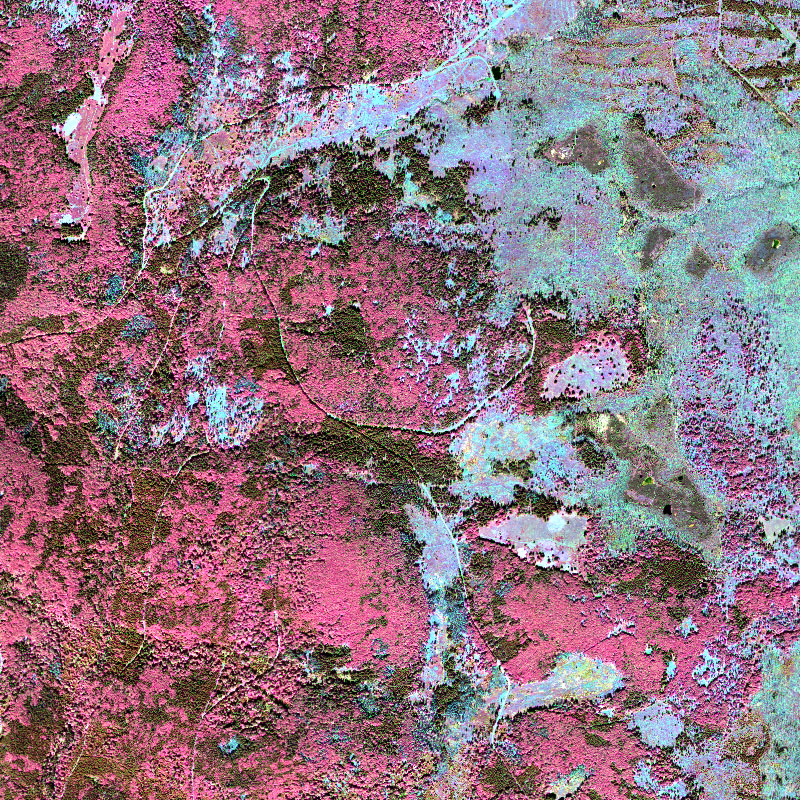
| This collection contains airborne hyperspectral imagery, acquired with the sensor system HySpex VNIR 1600 and SWIR 320-e. The different data strips do cover parts of the Bohemian forest, mainly the Bavarian Forest National Park. The acquisition has been conducted within the “Data Pool Initiative for the Bohemian Forest Ecosystem”. The hyperspectral imagery has been processed to orthorectified ground reflectance data. For more information concerning the HySpex instrument, the reader is referred to: https://www.dlr.de/eoc/en/desktopdefault.aspx/tabid-11411/19998_read-46623/ | ||
 |
||
| Suggested Data Citation | ||
| German Aerospace Center (DLR) (2019): HySpex - Level 2 Hyperspectral Images - Bohemian Forest. https://doi.org/10.15489/e8itv4uqol40 | ||
| Coverage | ||
| Yellow dots or areas indicate coverage range. | ||
| Geographic Boundaries | ||
| North: | 49.25° | |
| West: | 13.08° | |
| East: | 13.79° | |
| South: | 48.81° | |
| Time Period | ||
| Start date: | 2013-07-22 | |
| End date: | Present | |
| More Information | ||
| Keywords: | HySpex, airborne, hyperspectral, Bohemian forest ecosystem, Level 2, Orthoimagery, Protected sites | |
| Contact: | stefanie.holzwarth@dlr.de | |
| Access / Use Restriction: | Restricted - for further information on data access, please contact: stefanie.holzwarth@dlr.de | |
| Data Use Guidelines | D-SDA Data License Terms (pdf) | |
| Links | ||
| Mission / Project Information | ||
| Product guide (pdf) for the HySpex instrument | https://www.dlr.de/eoc/en/Portaldata/60/Resources/dokumente/4_serv_opairs/HySpex_ProductGuide.pdf DLR HySpex Product Guide (pdf) |
|
| PDF-document describing the processing performed for HySpex L2 data | https://geoservice.dlr.de:443/catalogue/srv/api/records/3be0e9ca-cac5-46c9-a856-62fb97667471/attachments/HySpex_L2_Processing.pdf DLR HySpex L2 Processing documentation (pdf) |
|
| Webpage with a description of the HySpex instrument | https://www.dlr.de/eoc/en/desktopdefault.aspx/tabid-11411/19998_read-46623/ DLR HySpex information website |
|
| DOI: | https://doi.org/10.15489/e8itv4uqol40 Digital Object Identifier |
|