| F-SAR, “Flugzeug-SAR”, is an airborne high-resolution imaging radar (Synthetic Aperture Radar) sensor presently operated by the German Aerospace Center (DLR), Microwaves and Radar Institute (HR) since November 02, 2006. It is operated on a Dornier Do-228 aircraft from altitudes of 2000 to 6000 m above ground in five different center frequency bands (X,C,S,L,P). Wavelengths range from 3 cm, 5 cm, 9 cm, 23 cm to 67 cm. Ka-band (1 cm wavelength) is planned to be added. Up to four center-frequencies (X,S,L,P) or (X,C,L,P) can be operated simultaneously per overflight. All frequencies are fully polarimetric (HH,HV,VV,VH) and have full repeat-pass capabilities. Single-pass interferometry in along-track (ATI) and across-track mode is available in X-band (ATI and/or XTI) and S-band (XTI). Data are processed up to three different levels: RGI (Radar Geometry Image product), INF (Repeat-pass-interferometric product) and GTC (Geocoded and Terrain-Corrected product). Resolutions range from 25 cm (X-band) to 1.5 m (P-band) in both azimuth and range direction. Data acquisition modes are typically “stripmap”, “repeat-pass” (two parallel tracks), “tomography” (several parallel tracks), ”circular” (one circle) or “circular-tomography” (several vertically distributed circles). Individually planned experiments can also be supported. For more information concerning F-SAR data, the reader is referred to: www.dlr.de/hr/f-sar | ||
 |
||
| Suggested Data Citation | ||
| German Aerospace Center (DLR) (2021): F-SAR - RGI/GTC/INF. https://doi.org/10.15489/flly3lyccu22 | ||
| Coverage | ||
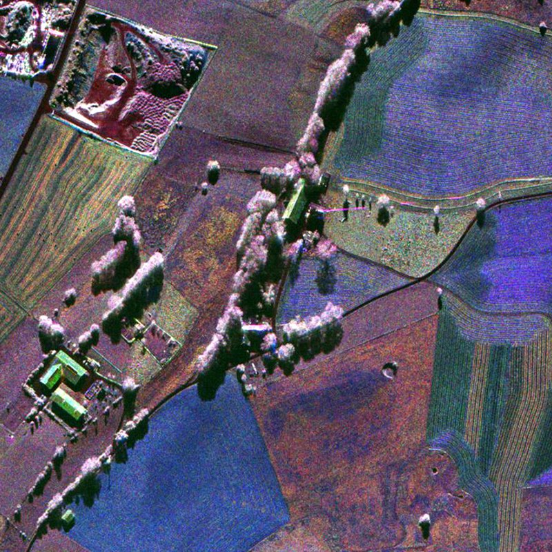
| Yellow dots or areas indicate coverage range. | ||
| Geographic Boundaries | ||
| North: | 90° | |
| West: | -180° | |
| East: | 180° | |
| South: | -90° | |
| Time Period | ||
| Start date: | 2010-06-08 | |
| End date: | Present | |
| More Information | ||
| Keywords: | urn:eop:DLR:EOWEB:AIRRS.F-SAR, F-SAR, airborne earth observation, SAR, RGI, GTC, INF, multi-frequency, fully-polarimetric, circular, holographic SAR tomography, stripmap, Orthoimagery | |
| Contact: | airborne-sar@dlr.de | |
| Access / Use Restriction: | Data available upon request: airborne-sar@dlr.de | |
| Data Use Guidelines | F-SAR Data Access Agreement (docx-Format) | |
| Links | ||
| Mission / Project Information | ||
| Webpage with a description of the F-SAR instrument | https://www.dlr.de/hr/f-sar DLR F-SAR information website |
|
| Flyer (pdf) with a description of the F-SAR instrument | https://www.dlr.de/hr/Portaldata/32/Resources/dokumente/broschueren/F-SAR_Flyer_CD_druck.pdf DLR F-SAR information flyer (pdf) |
|
| Product description document (pdf) for the F-SAR instrument | https://www.dlr.de/hr/Portaldata/32/Resources/images/institut/sar-technologie/f-sar/F-SAR_DIMS-products.pdf DLR F-SAR product description (pdf) |
|
| DOI: | https://doi.org/10.15489/flly3lyccu22 Digital Object Identifier |
|
| Ordering Data | ||
| EOWEB GeoPortal | https://geoservice.dlr.de/egp/main?ecswCollection=urn%3Aeop%3ADLR%3AEOWEB%3AAIRRS.F-SAR F-SAR |
|