| The Global WaterPack is a dataset containing information about open surface water cover parameters on a global scale. The water detection is derived from daily, operational MODIS datasets for every year since 2003. The negative effects of polar darkness and cloud coverage are compensated by applying interpolation processing steps. Thereby, a unique global dataset can be provided that is characterized by its high temporal resolution of one day and a spatial resolution of 250 meter. This collection includes monthly composites of the dataset with information on how often a pixel was detected as open surface water with pixel values between 0 and 31. Furthermore, a reliability layer provides information on the quality of each Global WaterPack pixel. | ||
 |
||
| Suggested Data Citation | ||
| Data: Global WaterPack data ©DLR [year] All rights reserved. https://doi.org/10.15489/i563nkgncc13 | ||
| Coverage | ||
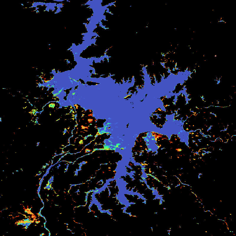
| Yellow dots or areas indicate coverage range. | ||
| Geographic Boundaries | ||
| North: | 90.00° | |
| West: | 180.00° | |
| East: | 180.00° | |
| South: | -90.00° | |
| Time Period | ||
| Start date: | 2003-01-01 | |
| End date: | 2024-12-31 | |
| More Information | ||
| Keywords: | DLR, EOC, MODIS, Terra, Aqua, Global, water bodies, water dynamics, water extent, opendata | |
| Contact: | waterpack@dlr.de | |
| Access / Use Restriction: | License | |
| Data Use Guidelines | Creative Commons BY 4.0 | |
| Links | ||
| Mission / Project Information | ||
| Global WaterPack (GWP) - DLR website | https://www.dlr.de/eoc/desktopdefault.aspx/tabid-11882/20871_read-74101/ Global WaterPack (GWP) - DLR website |
|
| DOI: | https://doi.org/10.15489/i563nkgncc13 Digital Object Identifier |
|
| Product Search / Ordering | ||
| Product Catalogue (STAC): Global WaterPack (GWP) P1M | https://geoservice.dlr.de/eoc/ogc/stac/v1/collections/GWP_P1M Global WaterPack (GWP) P1M |
|
| Downloading Data | ||
| HTTP download (Global WaterPack (GWP) - Monthly) | https://download.geoservice.dlr.de/GWP/files/monthly/ HTTP download |
|
| Data Visualization Service | ||
| EOC Geoservice Map Context (eoc:gwp:montly) | https://geoservice.dlr.de/web/maps/eoc:gwp:monthly EOC Geoservice Map Context |
|
| WMS access: Global WaterPack Monthly | https://geoservice.dlr.de/eoc/land/wms? GWP_P1M |
|
| WMS access: Global WaterPack Monthly - Reliability | https://geoservice.dlr.de/eoc/land/wms? GWP_REL_P1M |
|