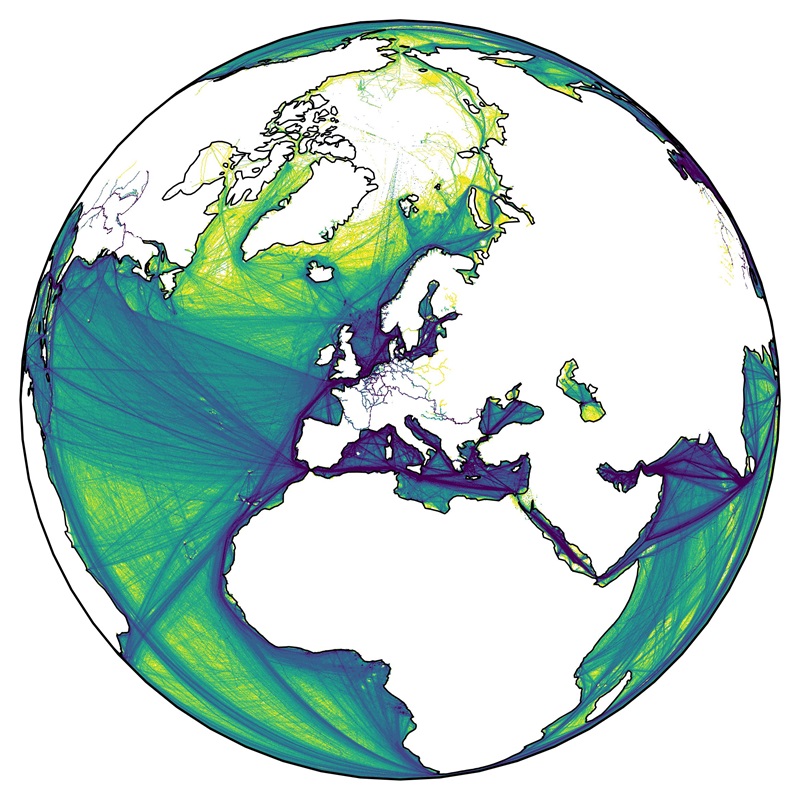
| This dataset contains a global gridded distribution of emissions for the shipping sector as monthly means for year 2019 and has been developed by DLR within the project EmissionsLandKarte (ELK). The methodology is based on data from the Automatic Identification System (AIS) and the algorithm adapted and revised by the International Maritime Organization (IMO) for vessels engaged on international voyages by sea, and on transport statistics for vessels engaged on domestic voyages by sea or inland waterways. | ||
 |
||
| Suggested Data Citation | ||
| Data: Banyś, P., Fitz, A., Suhr, B., Hellekes, J., Brinkop, S., Hendricks, J., Schulz, A., Righi, M.: "ELK - Global Emission Inventory - Shipping Sector, 2019", DLR, 2025. https://doi.org/10.15489/lhqawfes5755 | ||
| Coverage | ||
| Geographic Boundaries | ||
| North: | 90.00° | |
| West: | -180.00° | |
| East: | 180.00° | |
| South: | -90.00° | |
| Time Period | ||
| Start date: | 2019-01-01 | |
| End date: | 2019-12-31 | |
| More Information | ||
| Keywords: | DLR, Emissions, Shipping, International Shipping, Domestic Navigation, Global, Monthly, Black Carbon, Methane, Carbon Dioxide, Carbon Monoxide, Hydrocarbons, Dinitrogen Oxide, Non-Methane Volatile Organic Compounds, Nitrogen Oxides, Particulate Matter, Sulphur Oxides, opendata | |
| Contact: | pawel.banys@dlr.de, mattia.righi@dlr.de | |
| Access / Use Restriction: | License | |
| Data Use Guidelines | Creative Commons BY 4.0 | |
| Links | ||
| Mission / Project Information | ||
| Project information | https://www.dlr.de/en/pa/latest/news/2025/dlr-impulse-project-elk-mapping-the-national-regional-and-global-emissions-of-transport DLR website |
|
| DOI (of Dataset) | https://doi.org/10.15489/lhqawfes5755 Digital Object Identifier |
|
| Downloading Data | ||
| HTTP Download | https://download.geoservice.dlr.de/ELK/files/global/shipping/ ELK Global Emission Inventory |
|