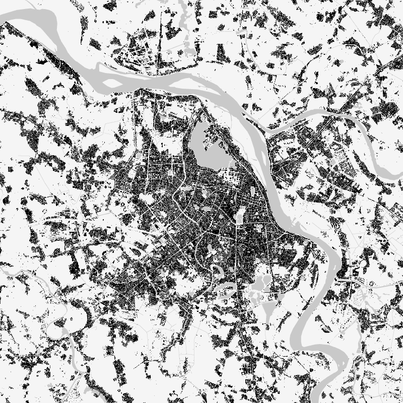
| The World Settlement Footprint (WSF) 2019 is a 10m resolution binary mask outlining the extent of human settlements globally derived by means of 2019 multitemporal Sentinel-1 (S1) and Sentinel-2 (S2) imagery. Based on the hypothesis that settlements generally show a more stable behavior with respect to most land-cover classes, temporal statistics are calculated for both S1- and S2-based indices. In particular, a comprehensive analysis has been performed by exploiting a number of reference building outlines to identify the most suitable set of temporal features (ultimately including 6 from S1 and 25 from S2). Training points for the settlement and non-settlement class are then generated by thresholding specific features, which varies depending on the 30 climate types of the well-established Köppen Geiger scheme. Next, binary classification based on Random Forest is applied and, finally, a dedicated post-processing is performed where ancillary datasets are employed to further reduce omission and commission errors. Here, the whole classification process has been entirely carried out within the Google Earth Engine platform. To assess the high accuracy and reliability of the WSF2019, two independent crowd-sourcing-based validation exercises have been carried out with the support of Google and Mapswipe, respectively, where overall 1M reference labels have been collected based photointerpretation of very high-resolution optical imagery. | ||
 |
||
| Suggested Data Citation | ||
| Data: WSF data ©DLR [year of acquisition] All rights reserved. https://doi.org/10.15489/twg5xsnquw84 | ||
| Coverage | ||
| Yellow dots or areas indicate coverage range. | ||
| Geographic Boundaries | ||
| North: | 78.00° | |
| West: | 180.00° | |
| East: | 180.00° | |
| South: | -60.00° | |
| Time Period | ||
| Start date: | 2019-01-01 | |
| End date: | 2019-12-31 | |
| More Information | ||
| Keywords: | DLR, EOC, global, urbanization, land, settlement extent, Sentinel-1, Sentinel-2, opendata | |
| Contact: | geoservice@dlr.de | |
| Access / Use Restriction: | License | |
| Data Use Guidelines | Creative Commons BY 4.0 | |
| Links | ||
| Mission / Project Information | ||
| World Settlement Footprint - DLR News | https://www.dlr.de/content/en/articles/news/2021/04/20211111_the-view-from-space-how-cities-are-growing.html World Settlement Footprint - DLR News |
|
| DOI: | https://doi.org/10.15489/twg5xsnquw84 Digital Object Identifier |
|
| Product Search / Ordering | ||
| Product Catalogue (STAC): World Settlement Footprint (WSF) 2019 - Sentinel-1/2 - Global | https://geoservice.dlr.de/eoc/ogc/stac/v1/collections/WSF_2019 World Settlement Footprint (WSF) 2019 |
|
| Downloading Data | ||
| GUI-based download (World Settlement Footprint (WSF) 2019) | https://download.geoservice.dlr.de/WSF2019/ GUI-based download |
|
| Data Visualization Service | ||
| EOC Geoservice Map Context (eoc:wsf2019) | https://geoservice.dlr.de/web/maps/eoc:wsf2019 EOC Geoservice Map Context |
|
| WMS access: World Settlement Footprint (WSF) 2019 | https://geoservice.dlr.de/eoc/imagery/wms? WSF_2019 |
|