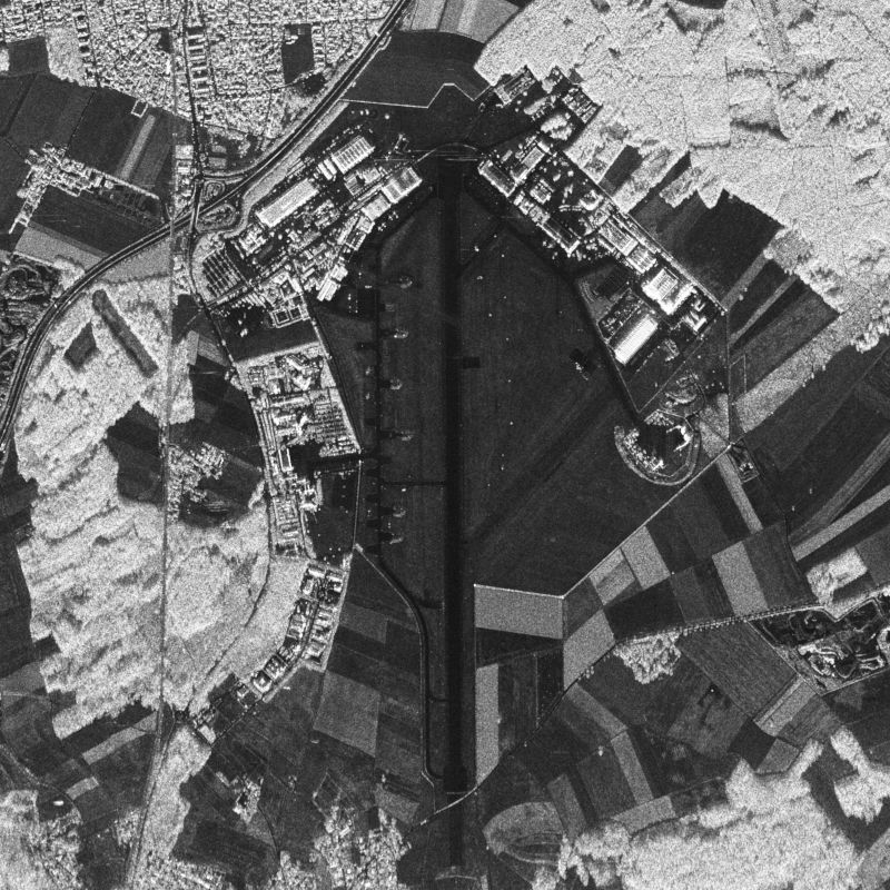
| E-SAR, “Experimental-SAR”, is an airborne imaging radar (Synthetic Aperture Radar) sensor operated by the German Aerospace Center (DLR), Microwaves and Radar Institute (HR) from 1988 until November 2009. It was operated on a Dornier Do-228 aircraft from altitudes of 2000 to 6000 m above ground in four different center frequency bands (X,C,L,P). Different center frequencies were operated sequentially in different overflights. Data were acquired either in one-channel, two-channel or four-channel mode in HH, HV, VV and/or VH polarization. Fully polarimetric data are available in L- and P-band only. Repeat-pass interferometry is available in L- and P-band. Single-pass interferometry is available in X-band only, in along- and across-track antenna configuration. Data are processed up to two different levels: RGI (Radar Geometry Image product) and GTC (Geocoded and Terrain-Corrected product). Resolutions range from 25 cm (X-band) to 1.5 m (P-band) in azimuth direction and from 1.8 m (X-band) to 3 m (P-band) in range direction. Data acquisition modes are “stripmap”, “repeat-pass” (two parallel tracks) or “tomography” (several parallel tracks). For more information concerning E-SAR data, the reader is referred to: www.dlr.de/hr/e-sar | ||
 |
||
| Suggested Data Citation | ||
| German Aerospace Center (DLR) (2021): E-SAR - RGI/GTC/INF. https://doi.org/10.15489/yfl6ddw7pp47 | ||
| Coverage | ||
| Yellow dots or areas indicate coverage range. | ||
| Geographic Boundaries | ||
| North: | 90° | |
| West: | -180° | |
| East: | 180° | |
| South: | -90° | |
| Time Period | ||
| Start date: | 1999-03-30 | |
| End date: | 2009-11-05 | |
| More Information | ||
| Keywords: | urn:eop:DLR:EOWEB:AIRRS.E-SAR, E-SAR, airborne earth observation, SAR, RGI, GTC, INF, multi-frequency, fully-polarimetric, circular, holographic SAR tomography, stripmap, Orthoimagery | |
| Contact: | airborne-sar@dlr.de | |
| Access / Use Restriction: | Data available upon request: airborne-sar@dlr.de | |
| Data Use Guidelines | Data Access Agreement (docx-Format) | |
| Links | ||
| Mission / Project Information | ||
| Webpage with a description of the E-SAR instrument | https://www.dlr.de/hr/e-sar DLR E-SAR information website |
|
| Flyer (pdf) with a description of the E-SAR instrument | https://www.dlr.de/hr/Portaldata/32/Resources/dokumente/broschueren/E_SAR_Flyer.pdf DLR E-SAR information flyer (pdf) |
|
| Product description document (pdf) for the E-SAR instrument | https://www.dlr.de/hr/en/Portaldata/32/Resources/documents/airborne-sar/DLR-HR_E-SAR_RPInSAR_Format-Description_2006-03-03.pdf DLR E-SAR product format description (pdf) |
|
| DOI: | https://doi.org/10.15489/yfl6ddw7pp47 Digital Object Identifier |
|
| Ordering Data | ||
| EOWEB GeoPortal | https://geoservice.dlr.de/egp/main?ecswCollection=urn%3Aeop%3ADLR%3AEOWEB%3AAIRRS.E-SAR E-SAR |
|