WSF2015_v2_-100_32 json
Collection:
- Composite Type: P1Y
- Sensor Type: SYNTHESIS
Extents:
- Spatial: -100.0101, 31.99, -97.9899, 34.01
- Temporal: 2015-01-01T00:00:00Z / 2015-12-31T23:59:59Z
Map:
Preview:
Properties:
- Parent Identifier: WSF_2015
- Crs: 4326
- Created: Sep 22, 2022, 8:14:30 AM
- Updated: Sep 22, 2022, 8:14:30 AM
- Product Version: 2
- [PROJ] Bbox: -100.0101 | 31.99 | -97.9899 | 34.01
- [PROJ] Epsg: 4326
- [PROJ] Geometry:
- coordinates: </br>31.99</br></br>31.99</br></br>34.01</br></br>34.01</br></br>31.99</br>
- type: Polygon
- [PROJ] Shape: 22487 | 22488
- [PROJ] Transform: 0.0001 | 0 | -100.0101 | 0 | -0.0001 | 34.01 | 0 | 0 | 1
Assets:
Properties: Download
- Key: wsf2015
- Title: Data
- Type: image/tiff; application=geotiff; profile=cloud-optimized
- Roles: data
- Description: Original data converted to cloud-optimized GeoTIFF with mode resampling
- Link: https://download.geoservice.dlr.de/WSF2015/files/WSF2015_v2_-100_32/WSF2015_v2_-100_32.tif
Raster Bands:
- Data Type: uint8
- Scale: 1
- Offset: 0
- Sampling: area
- Statistics:
- Mean: 1.2933
- Minimum: 0
- Maximum: 255
- Stddev: 18.1138
- Valid Percent: 0.0001
- Histogram:
- Count: 11
- Min: 0
- Max: 255
- Buckets: 1043258
Properties: Download
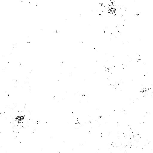
- Key: thumbnail
- Title: Thumbnail
- Type: image/png
- Roles: thumbnail
- Description: Thumbnail rendered in black/white as 512x512 pixel PNG file
- Link: https://download.geoservice.dlr.de/WSF2015/files/WSF2015_v2_-100_32/WSF2015_v2_-100_32_thumbnail.png
Properties: Download
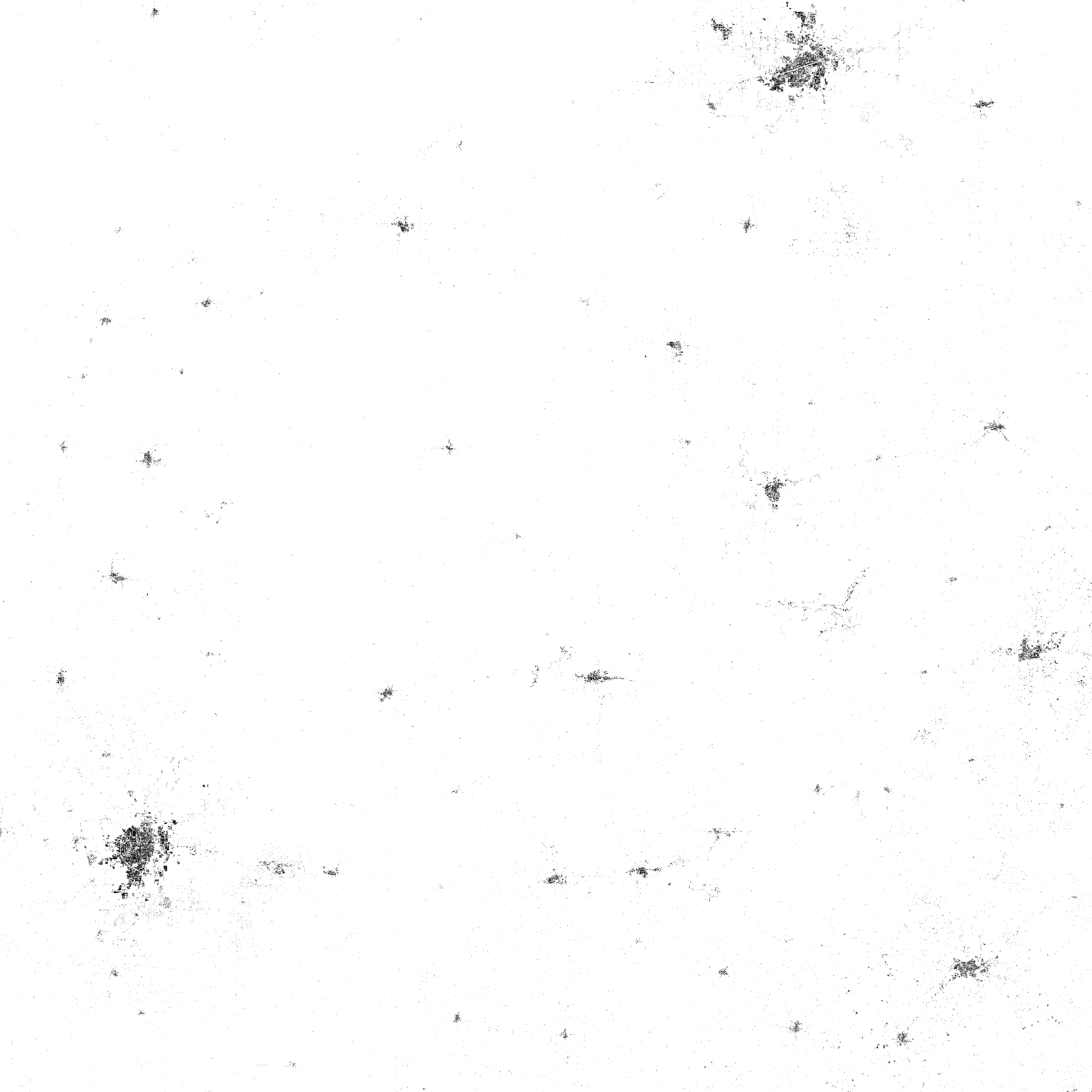
- Key: overview
- Title: Overview
- Type: image/png
- Roles: overview
- Description: Overview rendered in black/white as 4096x4096 pixel PNG file
- Link: https://download.geoservice.dlr.de/WSF2015/files/WSF2015_v2_-100_32/WSF2015_v2_-100_32_overview.png