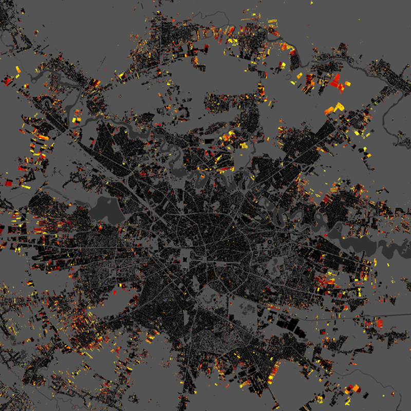
World Settlement Footprint (WSF) Tracker - Global, 2016-2026 items
Properties:
- Name: WSF_TRACKER
- Title: World Settlement Footprint (WSF) Tracker - Global, 2016-2026
- Description: The WSF Tracker is a global dataset designed to outline how built-up areas evolve over time. Developed through collaboration between the German Aerospace Center (DLR) and MindEarth, with support from a dedicated initiative of the European Space Agency's (ESA) Global Development Assistance (GDA) programme, the WSF Tracker captures settlement changes worldwide every six months at 10 m resolution since July 2016. Until now, global settlement maps have largely functioned as static snapshots, capturing where built-up areas existed at a given moment but offering limited visibility into how they evolved over time. The WSF Tracker changes this by creating a continuously updated global record of settlement dynamics.
- License: CC-BY-4.0
- Composite Type: P1Y
- Security constraints: No
Extents:
- Spatial: -180, -60, 180, 78.0001
- Temporal: 2016-06-01T00:00:00Z / 2026-01-01T23:59:59Z
Keywords:
Providers:
Preview: