Abstract:
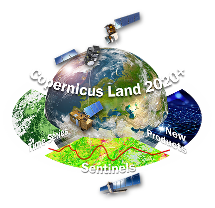
ECoLaSS is an EU Horizon2020 project to develop several prototypes of new or enhanced Copernicus Land services by making full use of dense time series of SAR and optical Sentinel EO data at a high spatial resolution of 10m. These prototypes shall be suggested for qualifying as candidates for operational integration into the future Copernicus Land Monitoring Service from 2020 onwards. The high resolution layer (HRL) prototypes fall into six main categories: improved imperviousness HRLs, improved forest HRLs, improved grassland HRLs, improved landcover HRLs, novel agriculture HRLs as well as novel time-series indicator HRLs.
The prototypes displayed here are the final results of the ECoLaSS project:
- Forest tree cover mask: binary forest / non-forest mask for 2018.
- Forest tree cover density: continuous tree cover for 2018.
- Forest dominant leaf type: broadleaved vs. coniferous trees for 2018.
- Forest tree cover change: forest loss and gain from 2017 to 2018.
- Agriculture cropland mask: binary cropland / non-cropland mask for 2018.
- Agriculture crop type: discrete crop type classification for 2018.
- Crop growth condition: time-series derived anomalies in agricultural fields for 2018.
- Time series indicators: potential change indicators (2016-2019) for Copernicus Grassland HRL of 2015.
- Imperviousness built-up area: binary built-up mask for 2018.
- Imperviousness degree: continuous imperviousness density for 2018.
- Imperviousness change classified: increase and decrease of imperviousness from 2017 to 2018.
- Grassland mask: binary mask of permanent grasslands for 2018.
- Grassland change: gain and loss from 2017 to 2018.
- Grassland use intensity: intensively and extensively managed grassland in 2018.
The ECoLaSS Consortium is composed of five companies/institutions: GAF AG (Germany), SIRS (France), JOANNEUM RESEARCH (Austria), Universite Catholiqe De Louvain (Belgium), and the German Aerospace Center - DLR (Germany). This project has received funding from the European Union's Horizon 2020 research and innovation programme, under grant agreement no 730008.
- Version: V2.0
- Sensor: Sentinel 1 & Sentinel 2
- Period: 2017-2018
- Reference: ECoLaSS EU
Keywords:
DLR, ECoLaSS, H2020, High Resolution Layers, Copernicus Land Services, InvestEUresearch, CopernicusEU
Map Projection:
Bounds: 2006155, 1083635, 6491419, 5392191


